Ashland Forest Resiliency Project News (View All)
Controlled Burn Planned for March 14th, 15th and 16th: Elkader Neighborhood
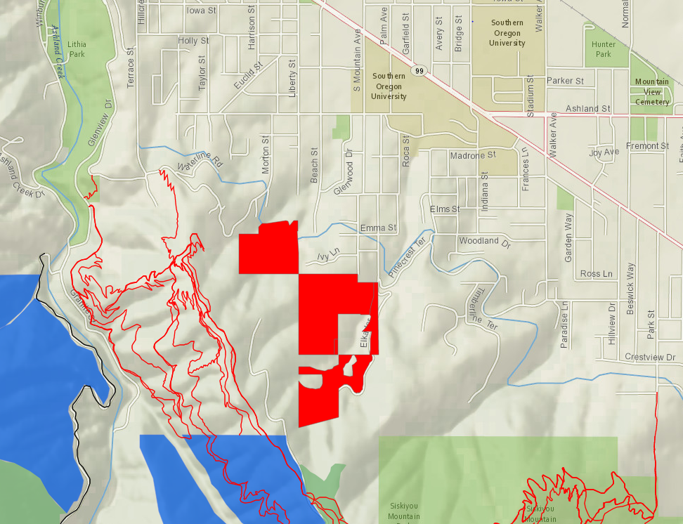
On Saturday, March 14th through Monday, March 16th a controlled burn is planned on private land from upper Morton St east to the upper Elkader neighborhood. Ashland Forest Resiliency Project partner Lomakatsi Restoration Project will manage the controlled burn for increased community wildfire safety. The controlled burn is located off the end of upper Elkader Drive, southeast of farthest upper Morton Street, the top of Beach and Liberty Streets, western Ivy Lane, top of South Mountain Avenue and above Pinecrest Terrace.
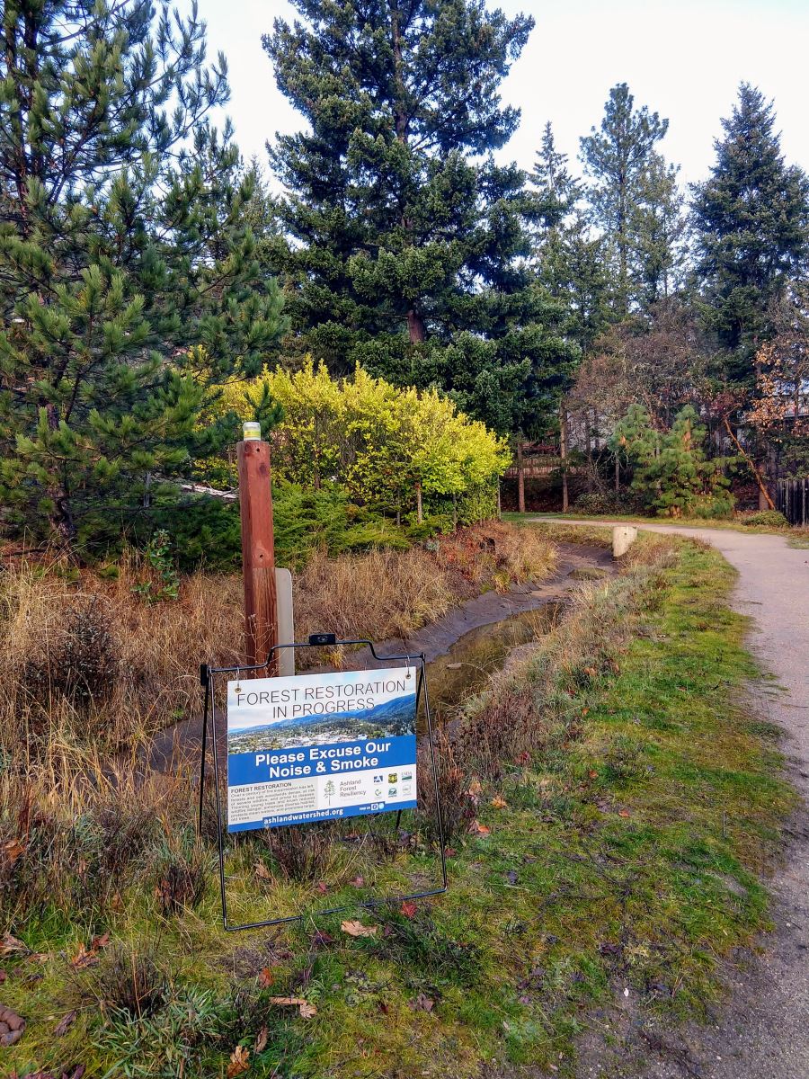
Smoke could be an issue for homes in the direct area, so we encourage neighborhoods near the burn to keep windows closed and ask that hikers avoid the area during burning. Signs will be posted.
Potential Smoke Impact
- Smoke will be visible from most of Ashland
- Smoke will likely pass into surrounding neighborhoods, so please take precautions recommended on SmokewiseAshland.org to reduce your exposure to smoke.
- Smoke sensitive people should avoid areas closest to the controlled burn.
- If you smell smoke, stay indoors and keep windows closed.
A recent article in the Ashland Daily Tidings explains more about why we use controlled burns. See 'Fighting Fire with Fire' for details.
More Information
- If you live close to a burn location, keep
windows closed and if you smell smoke, follow health recommendations on Smokewise Ashland. - Text-based notifications: text the word "WATERSHED" in the message line to 888777 as the recipient. You will get an auto-confirmation text.
- AFR Facebook
- smokewiseashland.org
- See controlled burn on the watershed camera
- Burn locations can be accessed through an
online map
Controlled burns are a critical part of creating a safer, more resilient landscape and community in the face of increasing fire risk due to climate change and overgrown forests. Find out more about why we burn.
Online City Services
UTILITIES-Connect/Disconnect,
Pay your bill & more�
Pay your bill & more�
Connect to
Ashland Fiber Network
Ashland Fiber Network
Request Conservation
Evaluation
Evaluation
Proposals, Bids
& Notifications
& Notifications
Request Building
Inspection
Inspection
Building Permit
Applications
Applications
Apply for Other
Permits & Licenses
Permits & Licenses
Register for
Recreation Programs
Recreation Programs