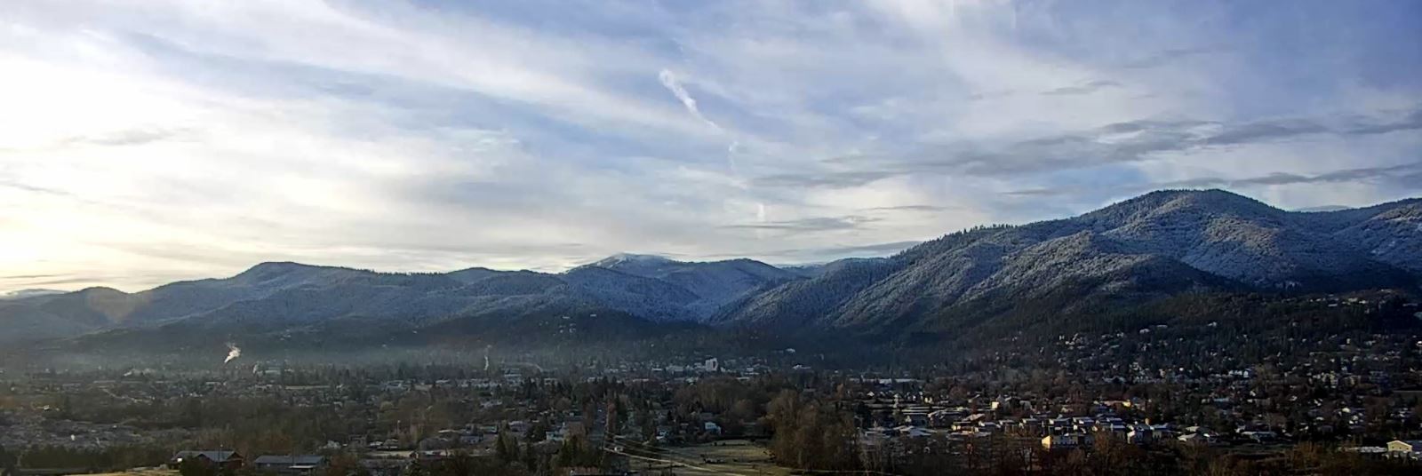
December 20th: Controlled Burn Continues Above Reeder Reservoir
Ashland Forest Resiliency will continue a pileburnabove Reeder Reservoir tomorrow. All roads and trails remain open. Some smoke could drift over the 2060-200 Road. We expect smoke to clear from trails and roads near Reeder Reservoir by late afternoon. Fire crews will be out on roads to manage the controlled burn and patrol previous burns so please be cautious of traffic on the 2060 (Lithia Loop) and 2060-200 Roads.
This will be the last controlled burn in 2019. The AFR Partners want to extend a warm thank you to the community for supporting the ongoing work. Even in chilly weather, if bundled up well, exploring our backyard in the Ashland watershed is an excellent way to celebrate the new year and holidays with friends and family. You can tag us on social media @afr.project with your pictures and stay in touch through our webpage ashlandwatershed.org!
Ashland, Oregon
Burn locations can be accessed through an online map. The color coded map shows active controlled burns in red, monitored burns in yellow and planned burns in blue.
If you live close to a burn location, keep windows closed and if you smell smoke, follow health recommendations on Smokewise Ashland.
Conditions for burning are good with a weather system that will move smoke away from town. Controlled burns are a critical part of creating a safer, more resilient landscape and community in the face of increasing fire risk due to climate change and overgrown forests. Find out more about why we burn.
AFR is a ten-year stewardship project designed to reduce the risk of severe wildfire in the watershed and to protect water quality, older forests, wildlife, people, property and quality of life.
Online City Services
UTILITIES-Connect/Disconnect, Pay your bill & more�