Three Controlled Burns Planned: South of Ashland, Near Panther Peak and West of Ashland
On Wednesday, January 8th three controlled burns are planned for community wildfire risk reduction.
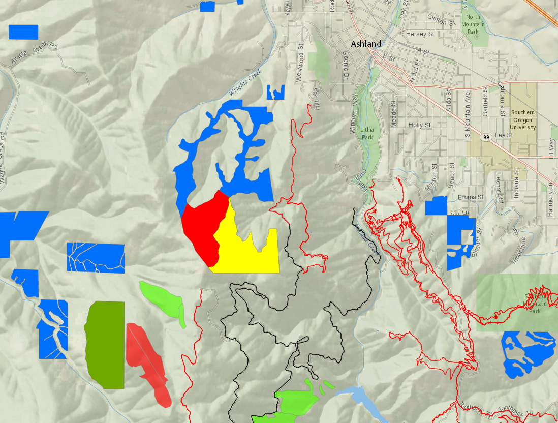
A 50 acres controlled burn is planned near the No Candies Trail and Panther Peak. This burn is high in the Ashland watershed and smoke is not expected to impact trails or roads.
West of Ashland, another burn to consume piles will be managed by fire crews well above Hitt Road.
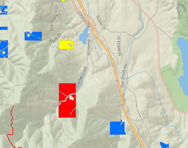
South of Ashland above Windemar Drive, a controlled burn is planned near Clayton Creek.
Smoke could be visible from different parts of the community including Interstate 5 south of Ashland and west of Ashland off Highway 99. No roads or trails will be impacted. If you live close to a burn location, keep windows closed and if you smell smoke, follow health recommendations on Smokewise Ashland.
Panther Peak and Above Hitt Road
Windemar Drive
More Information
Text based notifications: text the word "WATERSHED" in the message line to 888777 as the recipient. You will get an auto confirmation text.
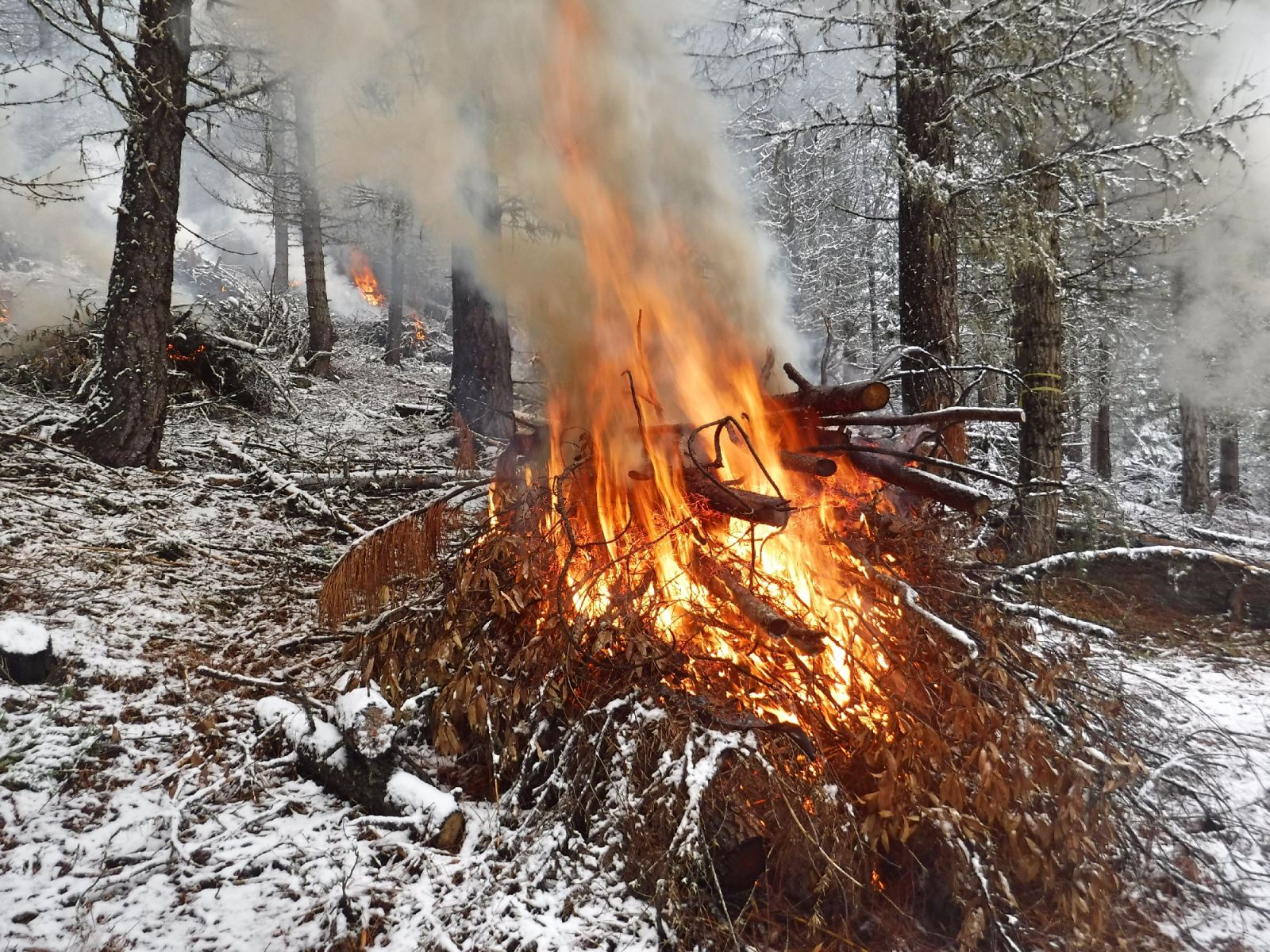
Conditions for burning are good with a weather system that will move smoke away from town. Controlled burns are a critical part of creating a safer, more resilient landscape and community in the face of increasing fire risk due to climate change and overgrown forests. Find out more about why we burn.
Online City Services
UTILITIES-Connect/Disconnect, Pay your bill & more�