Ashland Forest Resiliency Project News (View All)
Increased Traffic On West Side of Ashland Watershed
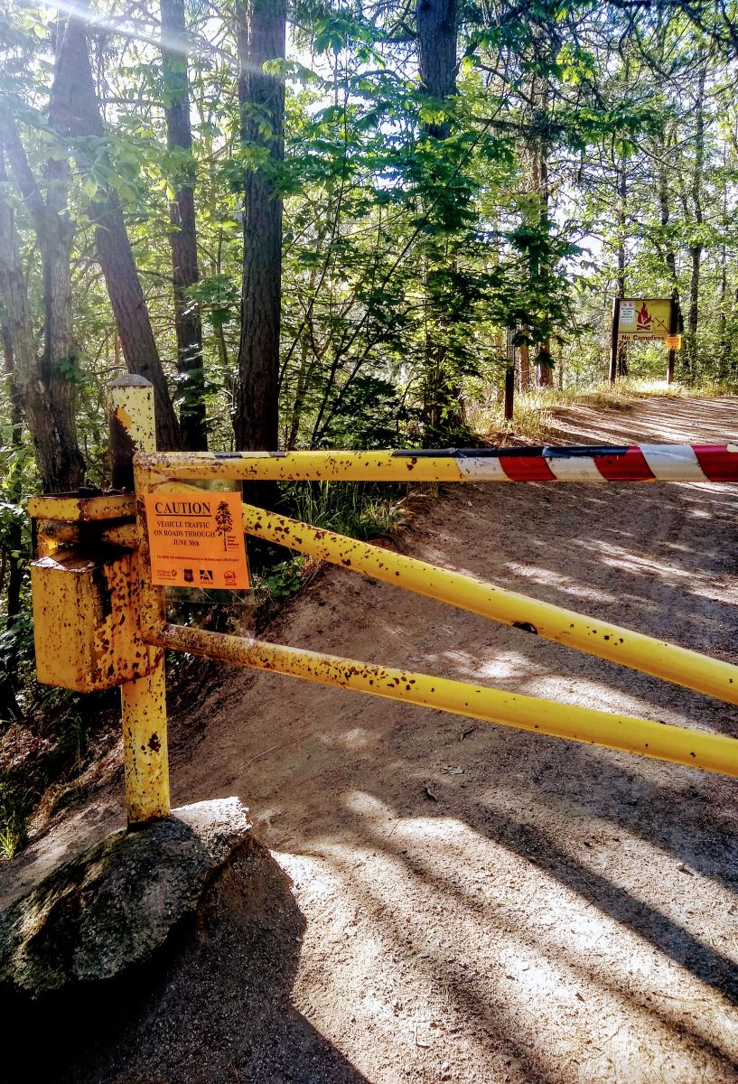
The U.S. Forest Service- Rogue River-Siskiyou National Forest has made a map of the Ashland watershed's trails available to the public for free through Avenza. Please follow the Ashland Woodland Trail Association's recommendations for trail use during the COVID-19 pandemic.
This work is funded by the Oregon Watershed Enhancement Board and made possible by Lomakatsi Restoration Project, The Nature Conservancy in Oregon, City of Ashland Oregon and the U.S. Forest Service- Rogue River-Siskiyou National Forest.
Online City Services
UTILITIES-Connect/Disconnect,
Pay your bill & more�
Pay your bill & more�
Connect to
Ashland Fiber Network
Ashland Fiber Network
Request Conservation
Evaluation
Evaluation
Proposals, Bids
& Notifications
& Notifications
Request Building
Inspection
Inspection
Building Permit
Applications
Applications
Apply for Other
Permits & Licenses
Permits & Licenses
Register for
Recreation Programs
Recreation Programs