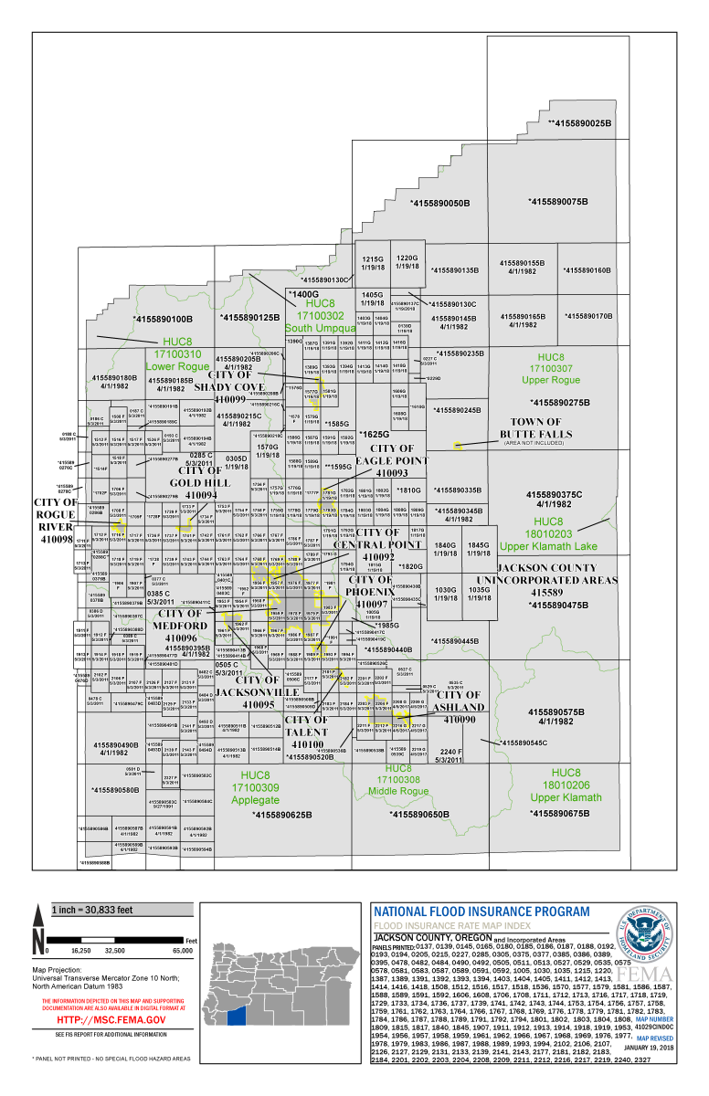
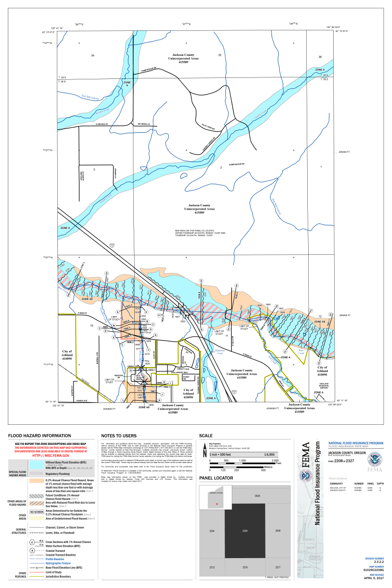
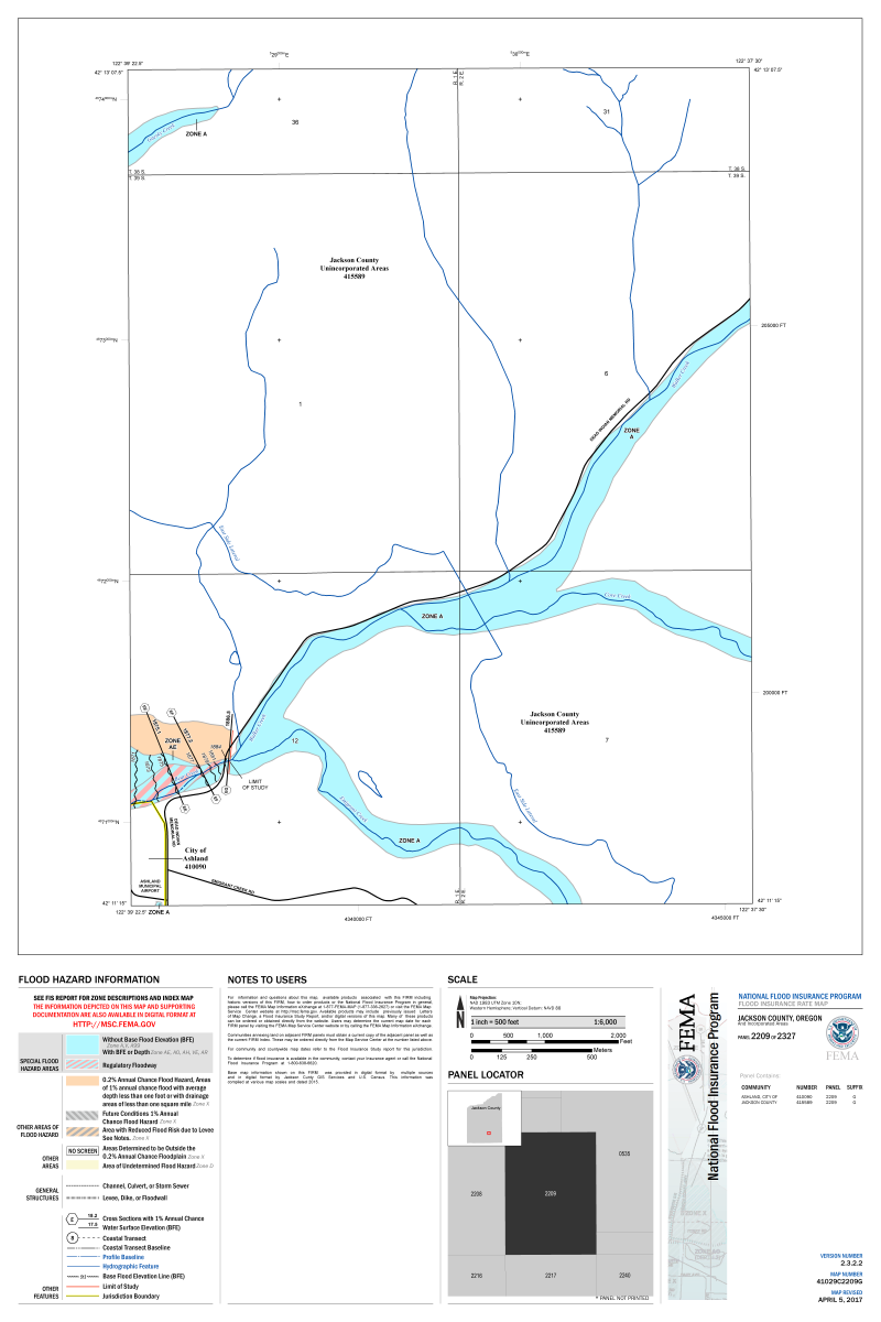
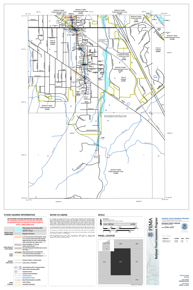
The FEMA Flood Insurance Study (FIS) and Flood Insurance Rate Maps (FIRMs) were adopted in 1981, updated in 2011 and again in 2017.
The FIS and FIRMs are used by federally-regulated lending institutions and determining who must purchase flood insurance and the cost of that insurance, should it be required. In addition the maps are used by city and county officials for floodplain management and permitting purposes.
To determine whether your property is in the Federal Emergency Management Agency (FEMA) floodplain please visit their Map Service Center, or the National Flood Hazard Layer.
National Flood Insurance Program: http://www.floodsmart.gov/
Ashland Flood Insurance Rate Study (FIS)
Flood Insurance Rate Map (FIRMs)
Panel #